


Start your journey with Ruang Bumi! We help businesses, researchers, industries and governments make data-driven decisions with cutting-edge mapping technology. Ruang Bumi is a collaborative space within the scope of earth science. We facilitate Indonesia's first platform to order high-resolution satellite imagery, consultation and discussion space related to GIS, Agriculture, Forestry etc.
We provide GIS data (Hight Resolution Sattelite Imagery, Areal Photography, Lidar), processing or analysis, visualization and geo artificial intelligence support to solve your problems.


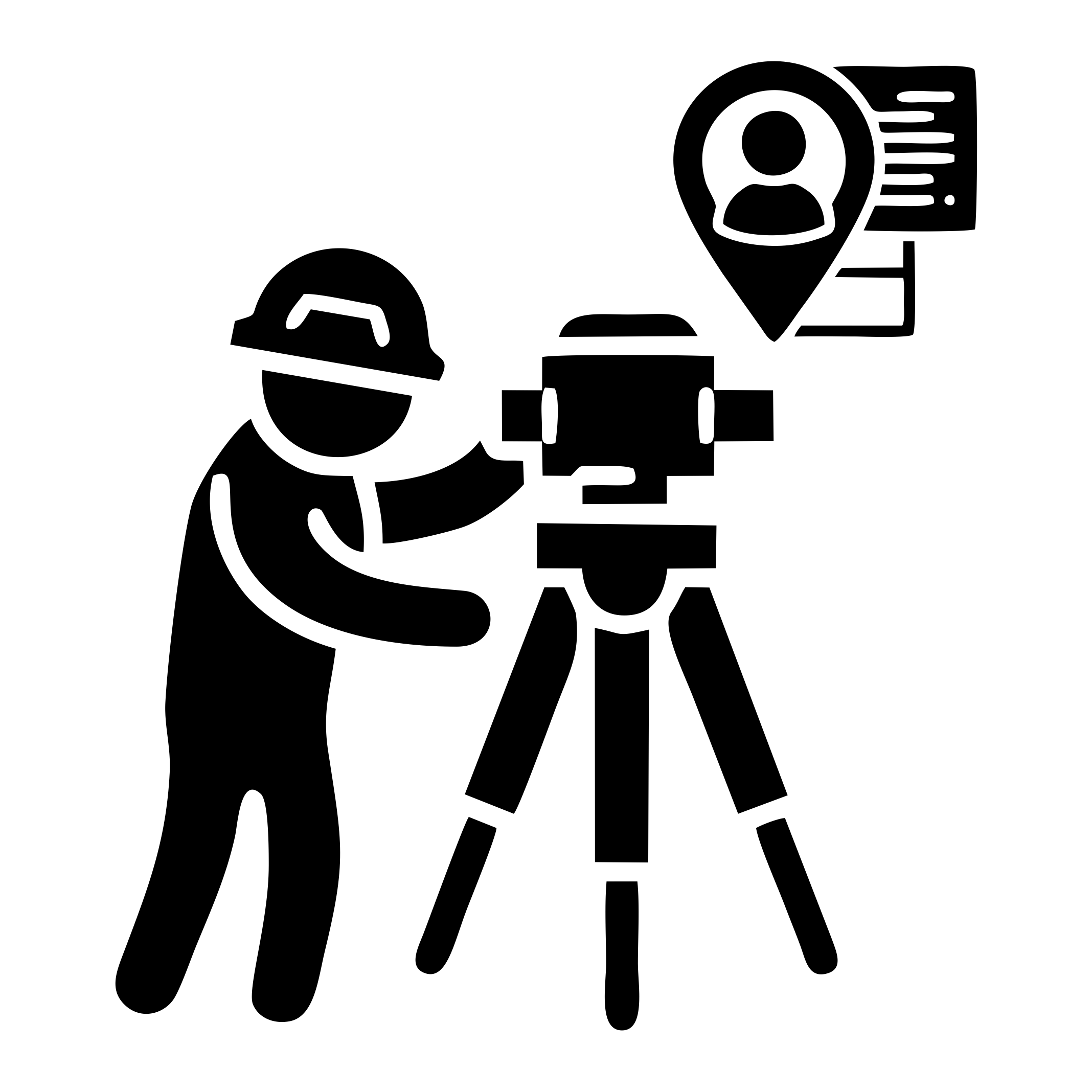
Define your (Area of Interest Specify) the location you need mapped—whether it's a city, agricultural land, forest, or coastal area.

Choose from high-resolution satellite imagery type or resolution data based on your project requirements.

Need AI-powered insights? We offer advanced image classification or land cover monitoring services.

Receive your processed satellite imagery in your preferred format TIFF/ECW via cloud storage.

We uphold honesty and openness in every aspect of our work, committed, meaningful and sustainable relationships.
We establish an environment grounded in integrity and are committed to providing high-quality products.

We support environmental and social sustainability by utilizing geospatial data to drive responsible decision-making.
We develop progressive mindsets and strategic actions to support continuous growth and development


We provide access to high-resolution satellite imagery, Arial Photography, and Lidar to capturing the Earth’s surface in unparalleled detail. These images enable precise mapping, land monitoring, and environmental analysis for a wide range of industries.

Find quick answers to common questions about Ruang Bumi’s services, features, and how to get started with our geospatial solutions.

Ruang Bumi is a collaborative space within the scope of earth science. We facilitate consultation and discussion space related to GIS, Agriculture, Forestry, Education, etc.
We provide GIS data, spatial processing & analysis, thematic maps & survey, WebGIS, GeoAI, Education.
Our solutions are available for businesses, governments, researchers, environmental organizations, and industries needing mapping expertise.
You can contact us through our [Ruang Bumi Explorer] page to discuss your specific requirements.
We value your feedback. Please share your thoughts, suggestions, or any issues you encountered to help us improve your experience.